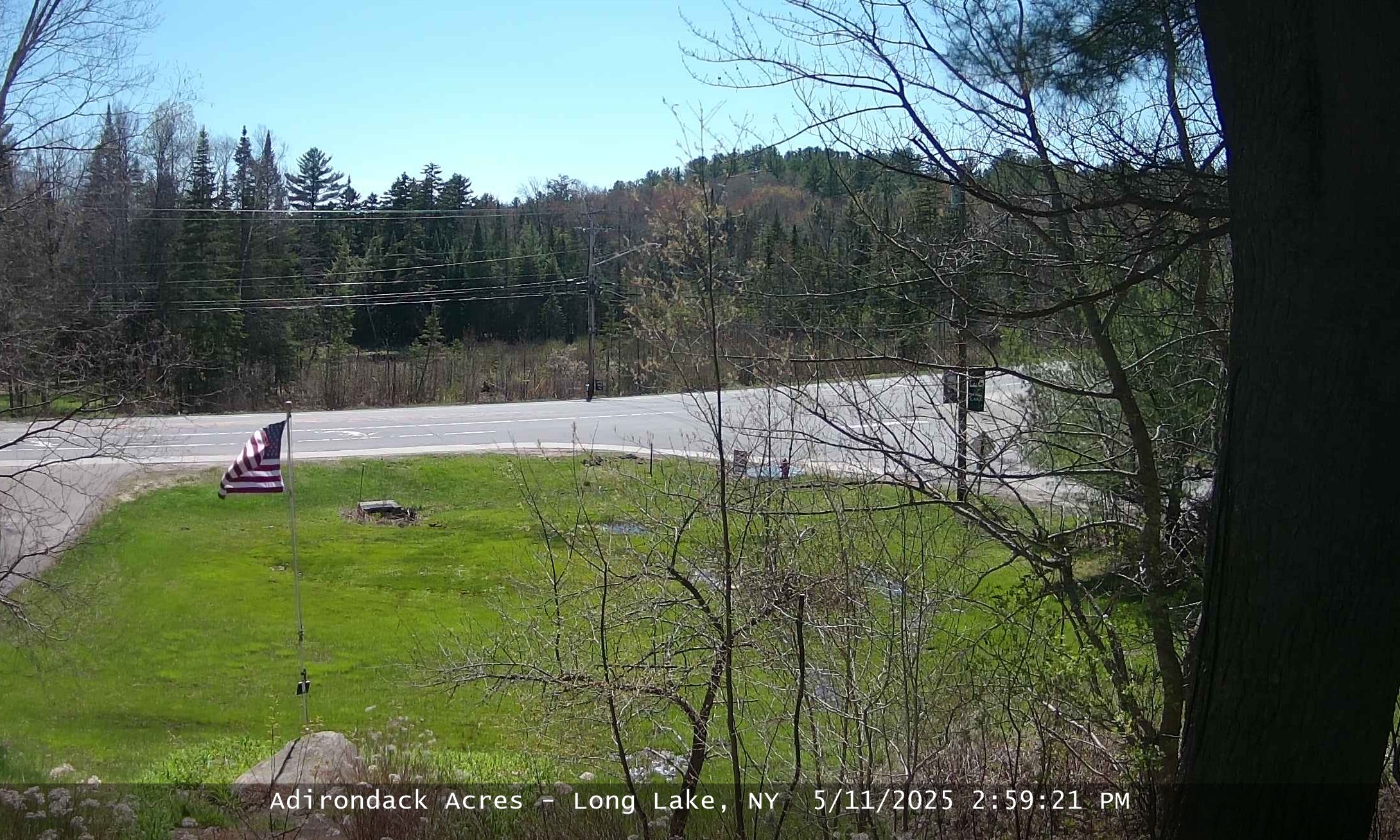
Adklogo

Find the Weather for any City, State  
or Zipcode, or Country:

Long Lake, NY 12847 Weather - Sign our guestbook.
Local Radar

Local Radar

Graphs, Details
Graphs and Gauges
Detailed Weather
Detailed Reports
Maps
Temperature
Heat Index
Windchill
Humidity
Radar
Dew Point
Wind
Visibility
Visible Satellite
Satellite
Fronts
Snow Depth
Jet Stream
Flight Rules
Forecast Maps
Temperature Forecast
Maximum Temperature Forecast
Minimum Temperature Forecast
Dewpoint Forecast
Prevalent Weather
12Hr Probability of Precip.
Sky Cover
Health Maps
UV Forecast
Air Quality
Peak Air Quality Index
Weather Station
Oregon Scientific WMR-968
Current Conditions [Select Refresh to Update]

Updated: 3:30am on 3/13/10

(location)

Currently:
37.76°

Clear
Clear

High: 38.84° 
(12:00am) 
Low: 37.40° 
(1:13am)
Wind: 4 mph from the NW
Gust: 4 mph
Today's High Wind: 11 mph (2:17am)
Humidity: 39%
Pressure: 30.14 in  (Steady) 
Pressure Rate: -0.014 in/hr
Dew Point: 15.04°
Wind Chill: 34.71°
Heat Index (feels like): 37.61°
Comfort Level: Cool
Temperature Rate:  -0.19°/hr
 
5 Day Forecast
 
Sat Sun Mon Tue Wed
Clear Clear Clear Clear Clear
Chance Rain Snow Clear Clear Clear
47° 43° 50° 47° 45°
31° 25° 22° 20° 22°

Records and Normals
 
Temperature Forecast Normal Record
High 47° 41°
(0)
Low 31° 21°
(0)
 
Weather Advisories
Warning Date: 3:06 PM EST on March 12, 2010
Warning Description: Winter Storm Watch
Full Advisory Text...
Weather Map

Area Radar
(click for full view)

Adirondack Acres Weather Cam
(click for full view)

Almanac
 
Sunrise:  
6:11am
Moonrise: 
5:01am

Moon Phase:
7%

Sunset: 
5:59pm
Moonset:  
4:09pm
 Star Chart...
Rainfall Totals
Hourly Rain 0.00 in
Daily Rain: 0.00 in
Monthly Rain: 0.08 in
Yearly Rain: 2.60 in
Normal Rain, month to date: 0.03 in
Normal Rain, year to date: 3.94 in
Local Weather Exchange® Network
Station ID

City 
(Click for Map Location)

Neighborhood 
(Click for History)
Last Update (Date & Time)

Temperature
 (°)

Dew
Point (°)
Humidity 
(%)
Wind 
(mph)
from the Wind Gust 
(mph) 
Pressure (in) Hourly
Rain (in)
KNYLONGL2 Long Lake Adirondack Acres

03/13 03:30:07

37.80

15.00

39

4

NW

4

30.14

0.00

KNYLONGL1 Long Lake Camp Minawani

03/13 03:30:17

36.60

18.00

46

3

SSE

4

30.09

0.00

MLPSN6 Raquette Lake RAWS LAKE PLEASANT NY US

03/13 03:00:00

36.00

22.00

57

5

ESE

11

0.00

0.00

KNYINDIA2 Indian Lake Indian Lake

03/13 03:30:14

35.10

16.00

45

0

North

0

30.08

0.00

KNYTUPPE2 Tupper Lake The Wild Center

03/13 03:30:05

42.20

14.00

32

7

SSW

26

30.11

0.00

KNYSARAN3 Saranac Lake Prospect Point - Upper Saranac Lake

03/13 03:30:16

41.70

17.00

37

1

NE

6

30.08

0.00

KNYINLET2 Inlet Matts Draft House

03/13 03:30:07

36.50

24.00

61

1

SE

1

30.01

0.00

KSLK Saranac Lake Official Station

03/13 02:51:00

30.00

28.00

92

0

North

---

30.08

---

KGFL Glens Falls Official Station

03/13 02:53:00

42.00

16.00

35

7

NE

---

30.16

---

KGTB Fort Drum Official Station

03/13 02:55:00

44.00

34.00

68

10

ESE

---

30.01

---

KPBG Plattsburgh Official Station

03/13 02:53:00

27.00

26.00

96

0

North

---

30.18

---

Full Advisory Text
Warning Description: Winter Storm Watch

Warning Date: 3:06 PM EST on March 12, 2010

WarningSum:...Winter Storm Watch In Effect From Saturday Afternoon Through
Sunday Evening At And Above 1500 Feet...

Warning Message:The National Weather Service in Albany has issued a Winter Storm
Watch for elevations at and above 1500 feet...which is in effect
from Saturday afternoon through Sunday evening for portions of the
Catskills...Adirondacks...southern Green Mountains of Vermont and
the Berkshires of Massachusetts. 
A coastal storm will develop over the mid Atlantic states and
track toward the region this weekend. Meanwhile...somewhat cooler
air from Canada and New England will be tracking southward through
the weekend. With the potential of abundant moisture interacting
with the cooler air mass...a significant accumulating winter
weather event of snow...sleet and ice are all possible. The time
frame of the heaviest precipitation will likely occur Saturday
night into early Sunday morning.
Considerable uncertainty remains with the precipitation amounts
and temperature profiles. Stay tuned for later updates from your
National Weather Service on this develop winter weather event. 
Precautionary/preparedness actions...
A Winter Storm Watch means there is a potential for significant
snow...sleet...or ice accumulations that may impact travel.
Continue to monitor the latest forecasts.
Bgm/kl
        

© Ambient Weather and Weather Underground
 Never base important decisions on this or any weather information obtained from the Internet
Updated Automatically by Ambient Weather's Virtual Weather Station  V14.00